Professional Utility Locating & Mapping Services in Deming, NM
Get accurate utility locating, GPR scanning, concrete scanning, utility marking, and GPS/GIS mapping services for safer projects in Deming.
What Is GPS/GIS Utility Mapping in Deming?
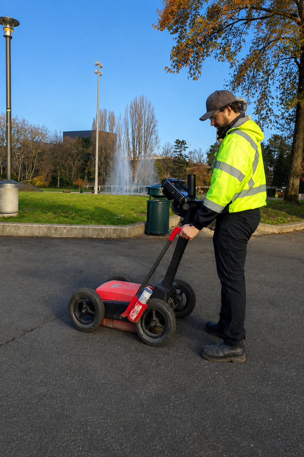
GPS/GIS utility mapping is the process of locating, documenting, and digitally mapping underground and above-ground utility infrastructure using GPS and GIS technology. It can identify electric, gas, water, sewer, telecommunications, and other utility systems, providing a detailed representation of existing infrastructure across a property or project site.
Technicians collect field information such as GPS coordinates, utility routes, location points, and available depth information using specialized equipment. The collected data can then be organized into digital maps that help contractors, engineers, developers, and property owners understand utility layouts and coordinate construction activities more effectively.
Accurate digital utility records can support excavation planning, construction design, infrastructure management, and future maintenance. They can also help reduce the risk of utility strikes, unexpected underground conditions, project delays, and unnecessary rework. Professional GPS/GIS utility mapping provides valuable site information for projects in Deming.
When Is Underground Utility Mapping Necessary in Deming?
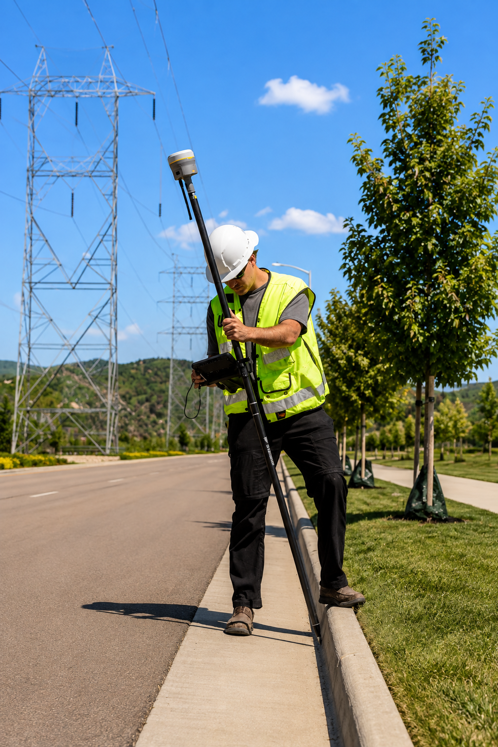
Underground utility mapping is necessary before excavation, trenching, drilling, construction, roadwork, landscaping, or other activities that disturb the ground. Mapping can help identify buried electric lines, gas pipes, water lines, sewer systems, telecommunications cables, and other underground infrastructure before work begins.
It is particularly useful when existing utility records are incomplete, outdated, unavailable, or difficult to interpret. Contractors, engineers, developers, and property owners can use detailed utility information to plan excavation routes, avoid potential utility conflicts, and better coordinate construction activities. Mapping may also be valuable for large developments and infrastructure improvement projects.
Having accurate information about subsurface utilities can help reduce the risk of utility strikes, service interruptions, unexpected site conditions, costly repairs, and construction delays. It also creates a useful reference for future maintenance and development. Professional underground utility mapping can provide important information before ground-disturbing work begins in Deming.
What Is Concrete Scanning in Deming?
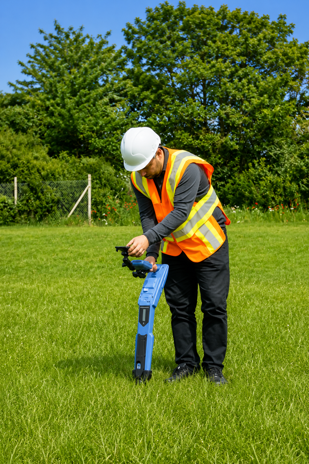
Concrete scanning is a non-destructive process used to identify objects and structures embedded inside concrete before drilling, cutting, coring, or other penetration work. It can help locate rebar, electrical conduits, post-tension cables, pipes, voids, and other hidden features within slabs, floors, walls, and structural elements.
Specialized Ground Penetrating Radar (GPR) equipment can be used to examine concrete without damaging the structure. Trained technicians scan the designated area and interpret the collected data to determine the location and approximate depth of detected features. The findings can then be marked on the concrete surface to help crews select safer work locations.
Concrete scanning can help reduce the risk of damaging embedded utilities, cutting post-tension cables, striking pipes, or causing unnecessary structural damage. It is useful for construction, renovation, facility maintenance, and concrete modification projects where hidden components need to be identified beforehand. Professional concrete scanning services are available for projects in Deming.
Our Services

Create accurate digital maps of underground utilities using GPS and GIS technology. Our mapping services help contractors and project teams visualize utility locations for safer planning and construction.
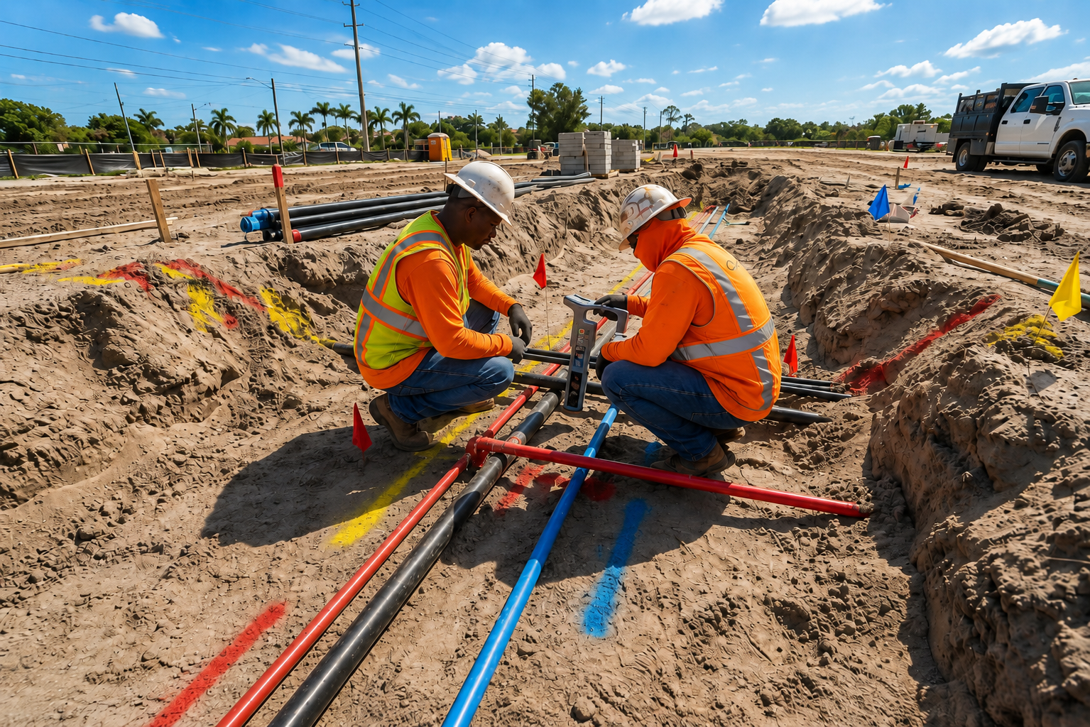
Identify and map underground utility lines before excavation or construction. We provide detailed subsurface information to help reduce utility strikes, project delays, and unexpected site conditions.
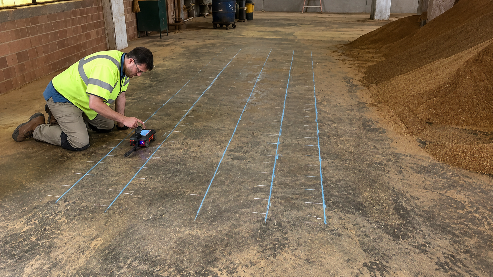
Our concrete scanning services help identify embedded rebar, conduits, post-tension cables, and other structures before cutting, drilling, or coring, helping improve safety and prevent costly damage.
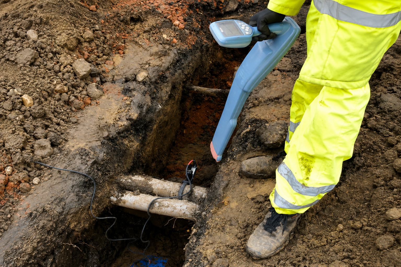
Ground Penetrating Radar (GPR) provides non-destructive subsurface detection for concrete and soil. Our scanning services help locate hidden utilities, structures, voids, and other underground features.
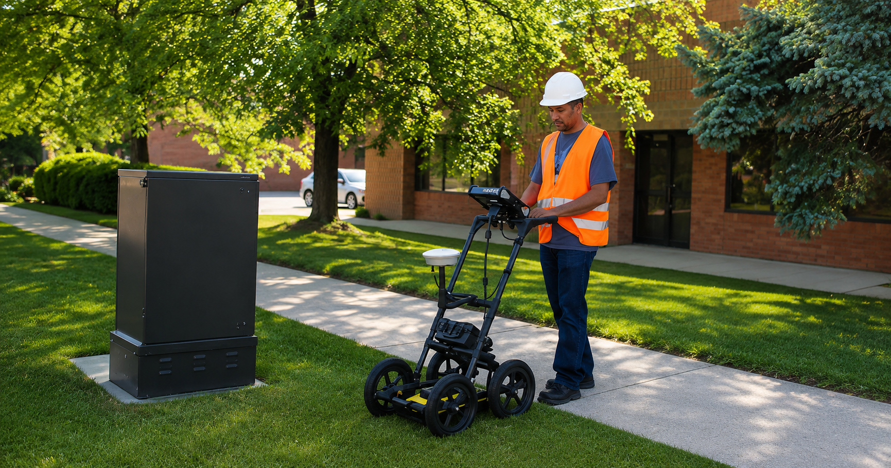
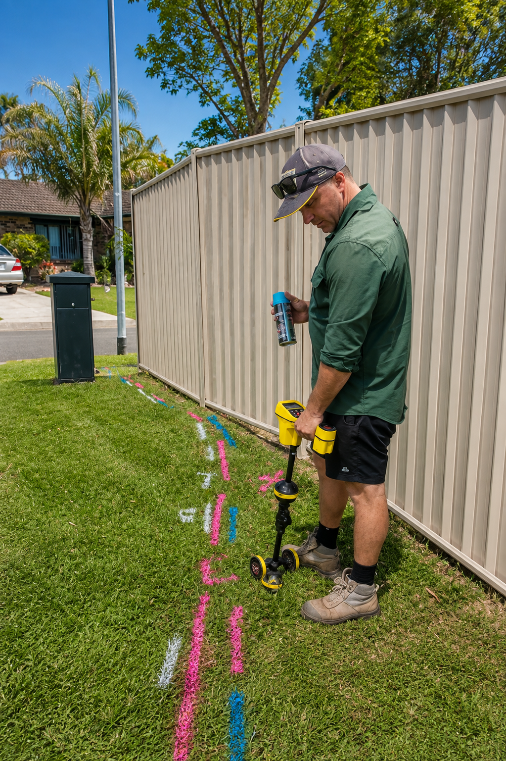
We provide professional utility line marking to clearly identify underground infrastructure before excavation. Accurate markings help crews understand utility locations and reduce the risk of accidental damage.
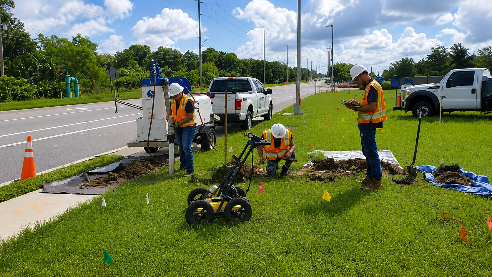
Locate privately owned underground utilities that may not be identified through standard public utility marking. We help property owners and contractors find private lines before excavation and construction.
What Is GPR Scanning in Deming?
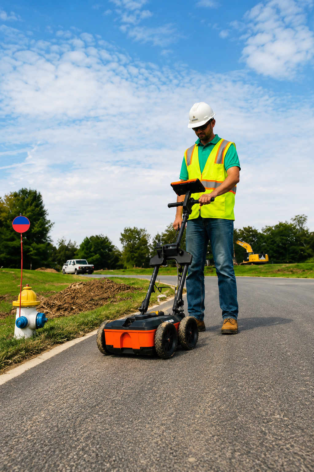
Ground Penetrating Radar (GPR) scanning is a non-destructive detection method used to identify objects and features beneath the ground or inside concrete. GPR sends high-frequency radio waves into the target area and analyzes reflected signals to help locate underground utilities, pipes, conduits, rebar, post-tension cables, voids, and other subsurface features.
GPR can be used across different environments, including soil, concrete slabs, foundations, roads, floors, and walls. Technicians use specialized equipment to collect subsurface data and interpret potential features based on the reflected signals. Depending on the project, the findings can be marked on the surface or incorporated into utility maps and project documentation.
GPR scanning is particularly useful before excavation, drilling, coring, trenching, cutting, and other ground-disturbing activities. Better information about hidden conditions can help reduce the risk of utility strikes, structural damage, unexpected obstacles, project delays, and costly repairs. Professional GPR scanning provides valuable subsurface information for projects in Deming.
What Is Private Utility Locating in Deming?
Private utility locating is the process of identifying underground utility lines that are privately owned or maintained and may not be included in standard public utility locating services. These can include private electric lines, water pipes, gas lines, sewer systems, irrigation lines, communication cables, and other underground infrastructure located on private property.
Technicians may use electromagnetic locating equipment, GPR, signal tracing, GPS/GIS technology, and other specialized detection methods depending on the type of utility and site conditions. Identified utility routes can be marked on the surface or documented through utility mapping, giving contractors and property owners better information before excavation or construction begins.
Private utility locating is especially valuable for residential properties, commercial developments, industrial sites, farms, campuses, and large private properties. Locating privately maintained infrastructure beforehand can help reduce the risk of utility strikes, service interruptions, property damage, delays, and costly repairs. Professional private utility locating helps support safer excavation and construction projects in Deming.
Our Service Area?
Albuquerque
Las Cruces
Rio Rancho
Santa Fe
Roswell
Farmington
Clovis
Hobbs
Alamogordo
Carlsbad
Gallup
Deming
Los Lunas
Artesia
Portales
Lovington
Española
Silver City
Grants
Los Alamos
Albuquerque
Las Cruces
Rio Rancho
Santa Fe
Roswell
Farmington
Clovis
Hobbs
Alamogordo
Carlsbad
Gallup
Deming
Los Lunas
Artesia
Portales
Lovington
Española
Silver City
Grants
Los Alamos
Ruidoso
Taos
Sunland Park
Bernalillo
Belen
Socorro
White Rock
Corrales
Raton
Tucumcari
Bloomfield
Aztec
Chaparral
Anthony
Edgewood
Moriarty
Peralta
Bosque Farms
Santa Teresa
Truth or Consequences
Kirtland
Eunice
Jal
Fort Sumner
Chama
Clayton
Springer
Las Vegas
Pecos
Taos Ski Valley
Questa
Lordsburg
Bayard
Hurley
Santa Rosa
Cuba
Zuni Pueblo
Acoma Pueblo
Rio Rancho Estates
Vado
Kirtland
Eunice
Jal
Fort Sumner
Chama
Clayton
Springer
Las Vegas
Pecos
Taos Ski Valley
Questa
Lordsburg
Bayard
Hurley
Santa Rosa
Cuba
Zuni Pueblo
Acoma Pueblo
Rio Rancho Estates
Vado
Our Reviews
What Our Customers Have to Say About Us!
Excellent utility locating service. The team was professional, responsive, and very accurate. They clearly marked the underground utilities before our project started, which helped us avoid costly delays and potential damage.

We had a great experience with Utility Locating & Mapping New Mexico. The technicians arrived on time, explained the process clearly, and provided accurate utility mapping. Highly recommended for contractors and property owners.
Very reliable and professional service. They located the underground lines quickly and provided detailed information that made our excavation project much safer. Great communication from start to finish.
The Process
Our Simple 3 Step Process

Contact Us
Start by completing the 'Get a Free Quote' form on our website to share your needs with us so we can take care of you.

Schedule Your Estimate
Next, we'll arrange a property visit at a time that works for you to provide an in-person estimate for your needs.

Get The Job Done
After you approve our estimate, we'll schedule a date to complete the job. Our team will work hard to exceed your expectations!
Request A Free Quote
BUSINESS
SERVICES
SERVICE AREAS
OPERATING HOURS
Sun: Closed
Mon: 7:00am - 7:00pm
Tue: 7:00am - 7:00pm
Wed: 7:00am - 7:00pm
Thu: 7:00am - 7:00pm
Fri: 7:00am - 7:00pm
Sat: 7:00am - 7:00pm